CLOUD APPLICATIONS AND SOFTWARE
Metta Office
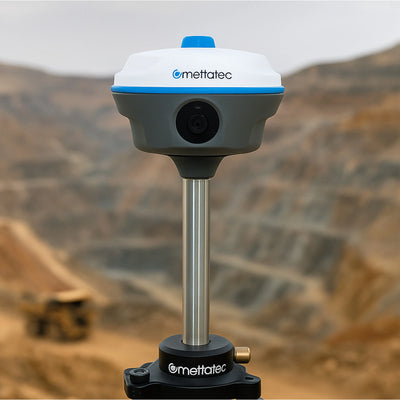
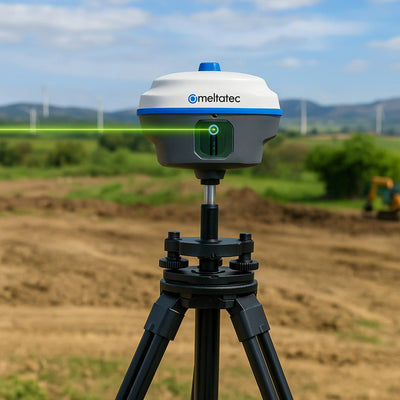
Transform your GNSS data into high-precision coordinates with state-of-the-art algorithms. Metta Office is cloud-based geodetic software that processes GNSS data with millimeter-level accuracy. It integrates antenna calibration, precise orbits, and ionospheric models, applying machine learning algorithms and geospatial analytics to refine observations and deliver reliable results.
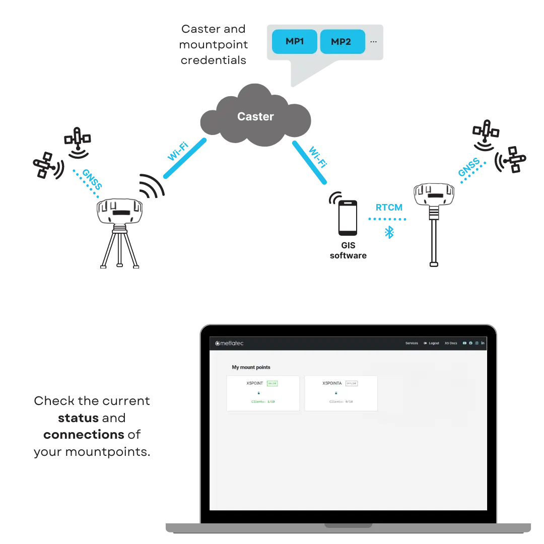
 NTRIP corrections
 Processable data
 File formats