Skip to product information

€0,00
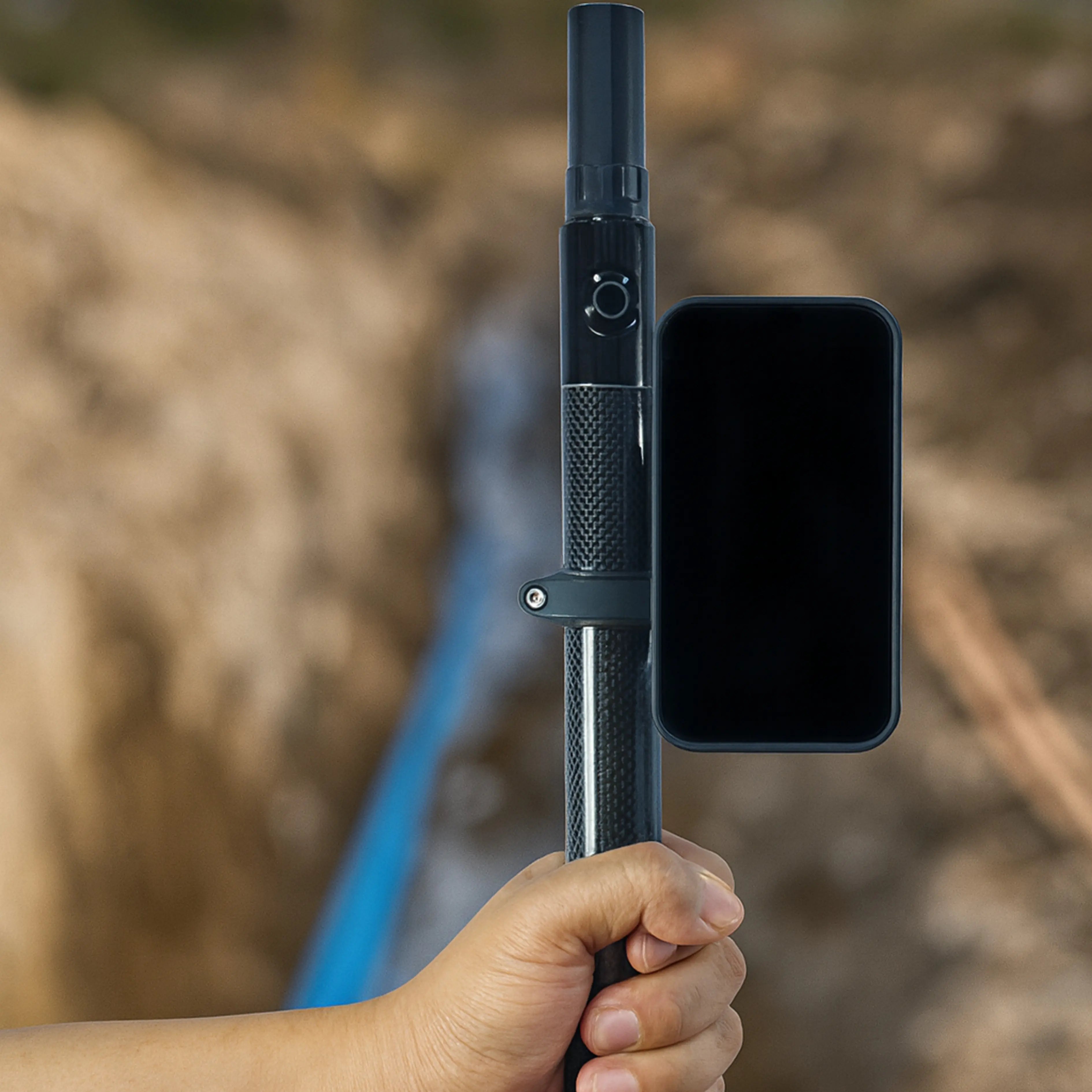
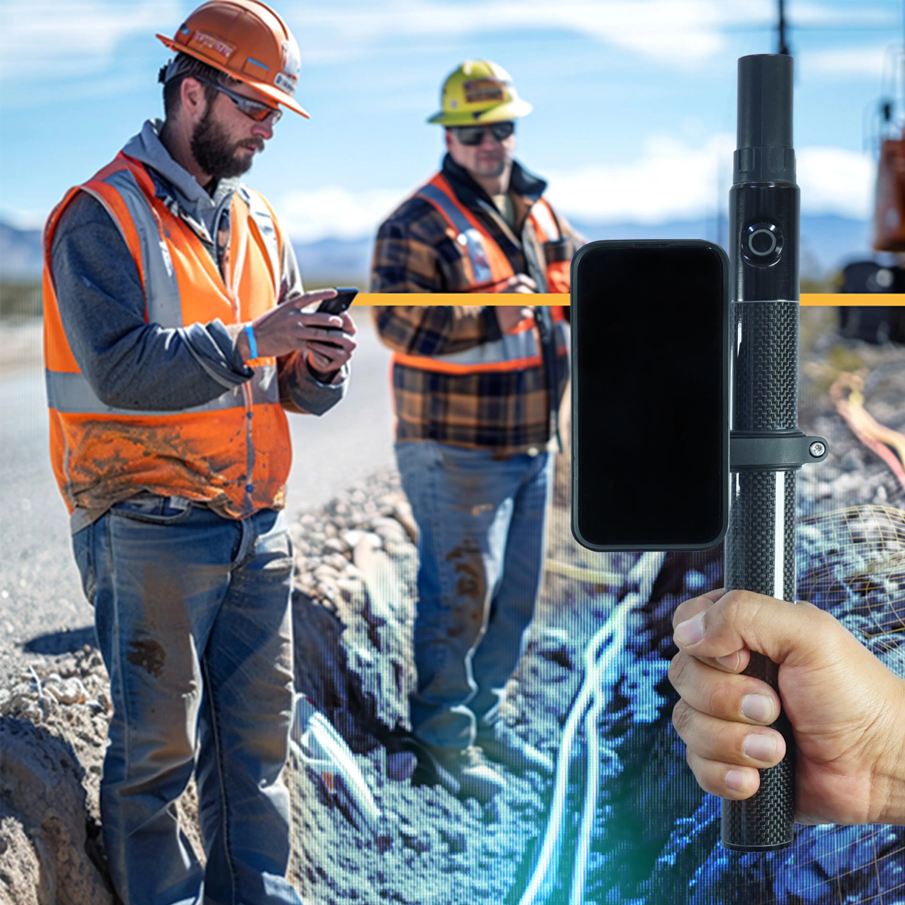
TKI Align Pro + NET Scan is an all-in-one hardware, software, and cloud solution that captures centimeter-accurate 3D digital twins in real time. It combines LiDAR and GNSS-RTK technology to quickly and easily document and share site data.
Key features:
- 3D scanning with georeferenced photos.
- Robust hardware with LiDAR + GNSS.
- One-button field app with automatic cloud upload.
- Real-time online viewing and collaboration.
- Export to GIS and CAD formats (Shape, KML, DXF).
- Integration with GIS and CAD systems (such as AutoCAD, ESRI, QGIS, Google Earth), facilitating data use within existing workflows.
Learn more or contact us here: https://net-scan.io/